Dérive- Brickfields Woodland Walk- St Helens.
When I was 14, this area was the main cut through to where we as 14 year olds would hang about. The many paths and dips in the landscape didn’t seem anything special as we were too busy getting to where we needed to be.
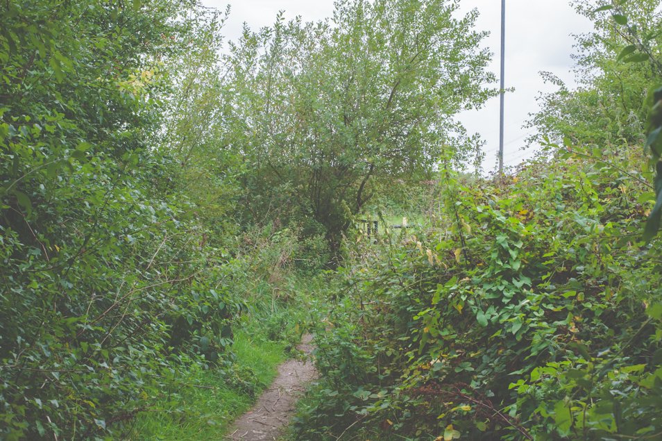
However over 25 years later I found myself recreating this very walk. I started from the opposite end, which I don’t think existed back in 1996 and tried to reimagine what the walk looked like.
I didn’t have my Kickers on or my Le Coq Sportif coat but I did pack snacks.
The land originally formed part of Ibstock Brick Works, a clay quarry and a waste tip. This was of no importance 25 years ago as it was seen a cut through.
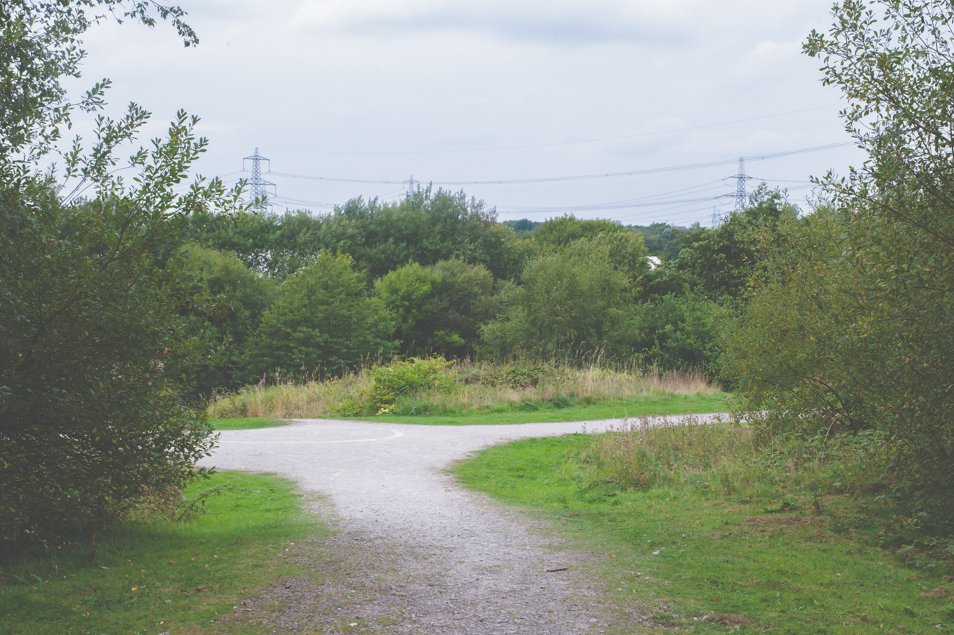
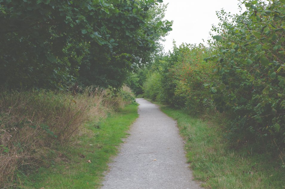
I started on the opposite side of the path which passes the large electricity substation. Through here you meet a path that eventually takes you up to the top of the original tip.
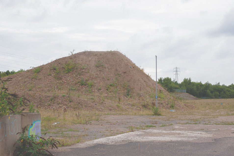
The highest point I remember walking on was now lower, I remember it being windy unless that was the time of year I found myself over there. Before the area was regenerated by the Newlands Project, the area looked like this.
Image source- Brickfields | Newlands project
I am trusting my mind hasn’t lied to me and that the paths through the grass that went all over the area, were really there.
It is from here that I started to recognise the old from the new. I vaguely remembered walking higher up than this and the land curving down to reveal a fence. Through the fence was a place called the ‘blueys’ which was bright blue toxic water from the clay quarry.
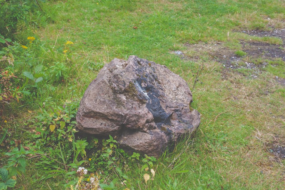
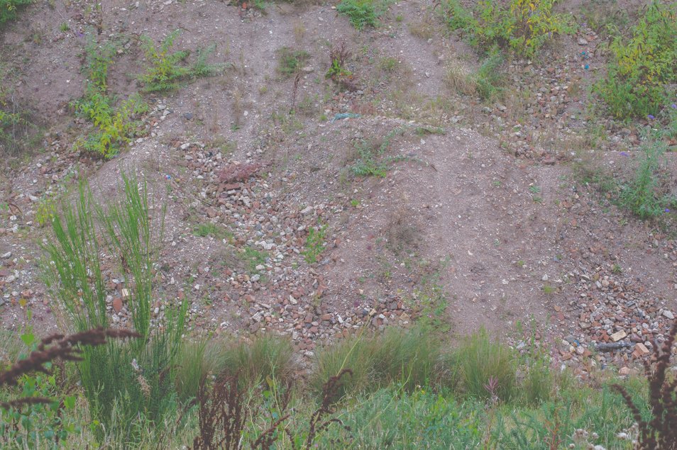
The image below shows this area. The path that led to the blueys is shown by the bricks at the top left. The land falls down (on the white stone path) and from here you walked round to back of the site. It is quite bizarre to see how it looked and to think that was just a normal part of your life. If someone wanted to know where you were you said ‘over the tip’.
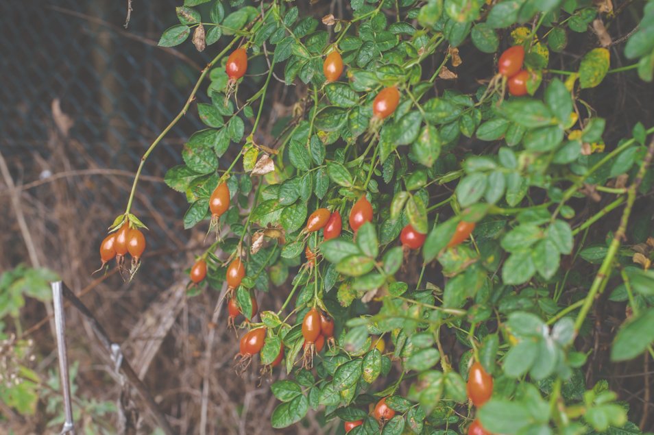
As it was September when I visited, the air was full of damp crispy smells, sloes, blackberries and beautiful Comfrey showing off their last blues before autumn.
I also love that even years later through reconstruction, movement and complete regeneration, an apple tree from a thrown core always turns up and continues to grow.
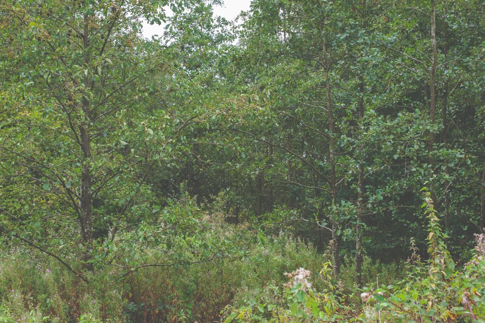
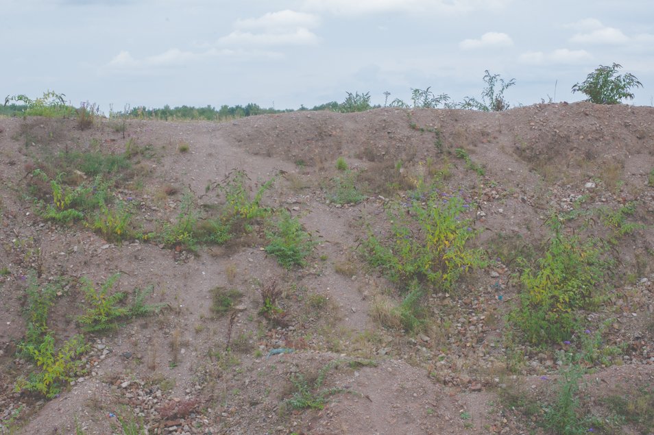
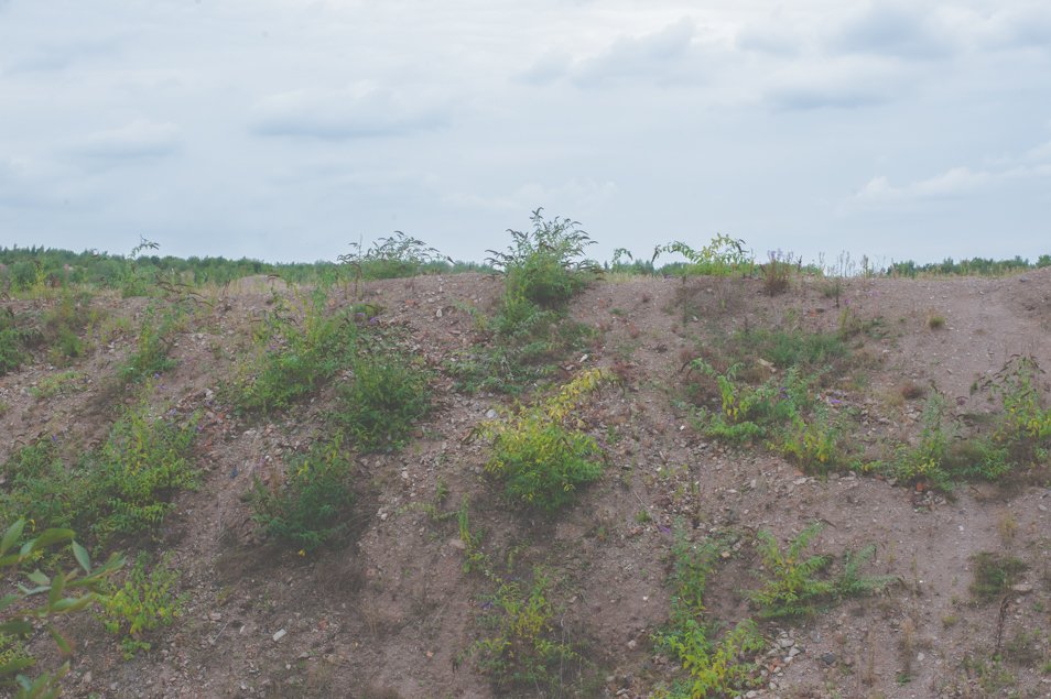
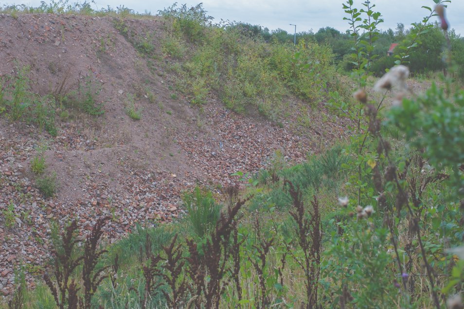
I had become a bit lost at this point. The original path was further along to the middle of the site and I don’t remember walking this close to where the factory was. It is very weird when you are trying to recreate something from memory. The spoil heaps have been there for over five years now and have sprouted some lovely Mountain Ash and Buddleia.
This area was somewhere everyone walked through, it was waste ground and by the time it was regenerated we had all moved on and it became a distant piece of land locked in a different era.
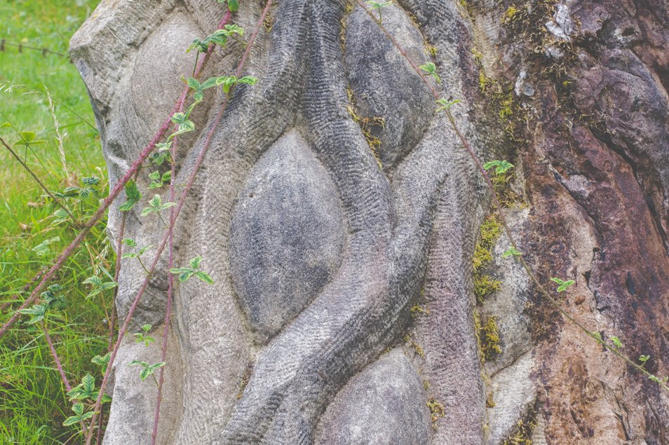
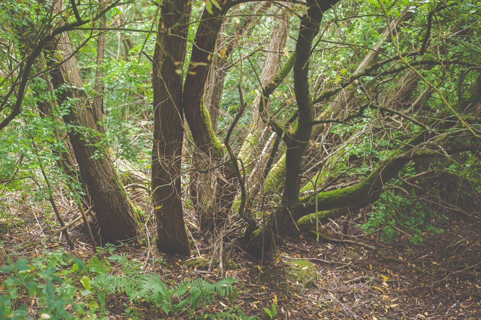
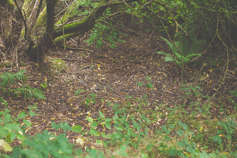
This is the only part I remember being of some significance in my memory. There used to be a large grid that was raised which you entered the side of the path from. This signified the start of the walk and from there eventual entry out onto the housing estate. The trunk of the tree on the bottom right of the picture, is near to where the grid was.
There was another path at the side of some houses which had three big stones blocking the way. This has now gone so the original line has been severed.
Coming to the end of the walk, I couldn’t understand why I didn’t remember the way to go. I can picture small snapshots of walking up and down hilly ground but as for how to get to these original places I can’t figure it out. Perhaps that’s what walking on old paths does.
Memory and perception and all that.
In the meantime please do read Walking Inside Out by Tina Richardson. I am hoping she will help me work out how to find the path.


